 |
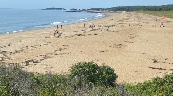
A new report by the Maine Geological Survey on the State of Maine’s Beaches in 2022 is now available. The detailed 123-page report and a series of posters analyze beach profile data collected monthly by citizen scientists at 12 of the largest beaches in Maine. Data from the last 15 months were compared to conditions since the April 2007 Patriots’ Day Storm that caused significant beach erosion. Marine geologists also compared MGS-collected annual data along the seaward edge of coastal sand dunes and the position of the mean high tide line to look at shifting shorelines and recreational beach space at the same beaches and 28 more. The shoreline data complement vertical data collected by volunteers and present locally specific information for beach management from Kittery to Pemaquid.
The study found Maine’s beaches are in very good shape for the summer season. Beach profiles showed slightly positive trends statewide. The dry beach area that geologists call a berm, and visitors call beach blanket space, held up well through a relatively mild winter with only 3 major storms in October, January, and April. Sea level was above average (since 1912) by about half a foot in the last 5 years but only a few locations, where higher tides and waves interact with seawalls, was there a possible erosion effect. Beach and nearshore placement of sand for nourishment provided benefits in Wells, Kennebunk, and Saco that have lasted 2 to 3 years. Across the study area, beaches with natural dunes have, on average, about 35 feet more width to the recreational beach space than beaches with seawalls.